
GIS for Oil & Gas Exploration and Operations
$5500.00
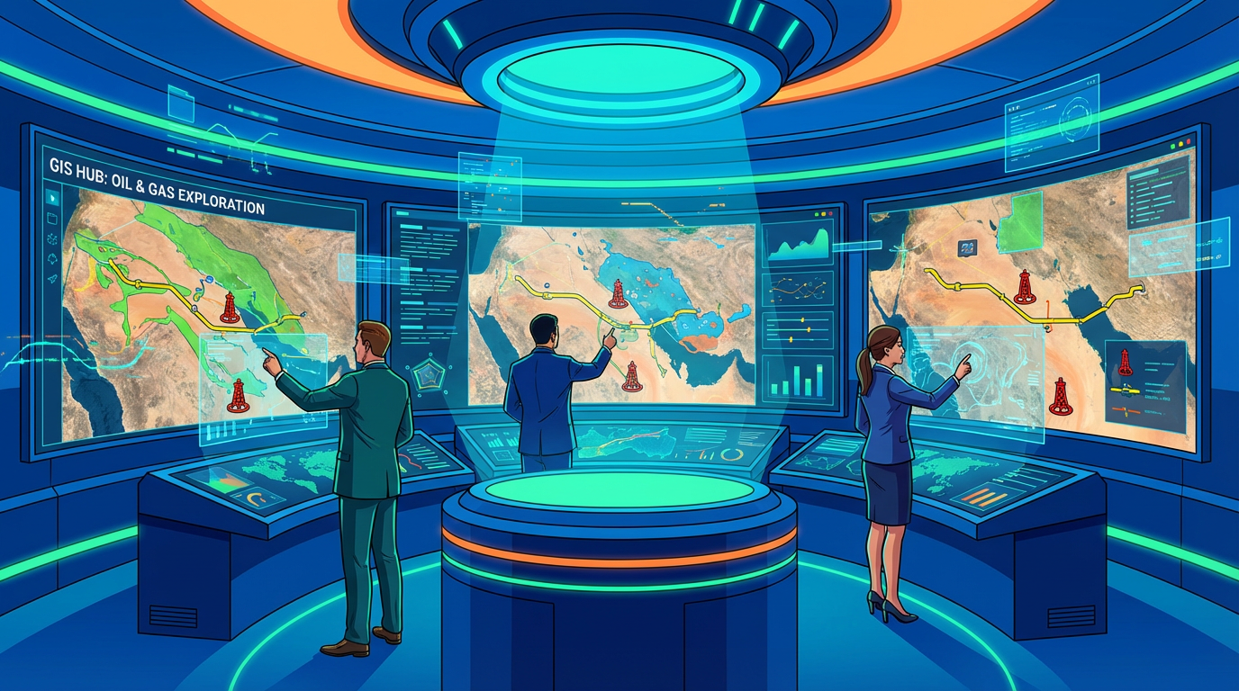
GIS for Oil & Gas Exploration and Operations 5-Day Course Outline - KSA, Oman & GCC
Master Petroleum Industry GIS Applications in Saudi Arabia, Oman & Gulf Region
The GIS for Oil & Gas Exploration and Operations Course is a comprehensive 5-day specialized program for petroleum professionals across Saudi Arabia (KSA), Oman, UAE, Qatar, Kuwait, and Bahrain. This hands-on training covers spatial analysis, reservoir mapping, pipeline management, facility planning, and field operations essential for upstream, midstream, and downstream sectors throughout the GCC energy industry.
Why GIS for Oil & Gas Training is Critical in the Middle East?
The GCC petroleum industry relies heavily on spatial intelligence:
Saudi Aramco, ADNOC, PDO, QatarEnergy, KOC: GIS as core technology
Exploration: seismic data analysis, prospect evaluation, drilling location optimization
Production operations: well mapping, reservoir management, facility planning
Pipeline networks: routing, integrity management, leak detection
Environmental compliance: impact assessment, monitoring, remediation
Asset management: tracking thousands of wells, facilities, infrastructure
Emergency response: spill planning, evacuation routes, incident management
Land administration: concessions, permits, right-of-way
Vision 2030 digitization: smart oilfield technologies
Who Should Attend?
Petroleum engineers managing exploration and production
Geologists and geophysicists analyzing subsurface data
Reservoir engineers modeling and optimizing production
Pipeline engineers planning and maintaining networks
Facility planners designing oil & gas installations
HSE professionals in upstream and downstream operations
Asset managers tracking petroleum infrastructure
GIS specialists in energy sector
Project managers on oil & gas developments
5-Day Course Structure
Day 1: GIS Fundamentals for Petroleum Industry
Introduction to Oil & Gas GIS
Role of GIS in petroleum industry lifecycle
Upstream applications: exploration, drilling, production
Midstream: pipelines, storage, transportation
Downstream: refineries, distribution, retail
GIS adoption in Saudi Aramco, ADNOC, PDO operations
Industry standards: API, ISO, regulatory compliance
ROI and business case for GIS implementation
GIS Software for Oil & Gas
ArcGIS: industry standard platform
QGIS: open-source alternative
Petrel: integrated subsurface modeling
Specialized petroleum extensions: ArcGIS for Oil & Gas
Mobile GIS: field data collection
Web GIS: enterprise collaboration
Integration with petroleum applications: PI System, OSIsoft
Spatial Data Types in Petroleum
Vector data: wells, pipelines, facilities, lease boundaries
Raster data: satellite imagery, DEMs, seismic surveys
3D/4D data: subsurface models, reservoir simulation
Temporal data: production history, pressure changes
Attribute data: well logs, production rates, fluid properties
CAD integration: engineering drawings, P&IDs
Coordinate Systems for GCC Oil & Gas
Saudi Arabia systems: Ain El Abd 1970, Saudi Aramco Grid
Oman systems: WGS84 UTM zones, PDO coordinate systems
UAE, Qatar, Kuwait: local coordinate systems
Offshore coordinate systems: WGS84 geographic
Datum transformations: accuracy requirements
GPS/GNSS for field positioning
Subsurface coordinate systems vs. surface
Data Sources and Acquisition
Well data: drilling reports, completion data, production logs
Seismic data: 2D lines, 3D surveys, 4D time-lapse
Satellite imagery: Landsat, Sentinel, commercial high-resolution
Digital elevation models for terrain analysis
Government spatial data: geology, land use, infrastructure
Field surveys: GPS, LiDAR, drone mapping
Historical maps and legacy data integration
Day 2: Exploration and Subsurface Mapping
Geological and Geophysical Data Integration
Geological maps: formations, structures, outcrops
Seismic data display and interpretation in GIS
Gravity and magnetic anomaly mapping
Well correlation and cross-sections
Fault mapping and structural analysis
Stratigraphic layer modeling
Integration with Petrel and subsurface software
Prospect Evaluation and Ranking
Play fairway analysis: spatial risk assessment
Lead and prospect mapping
Multi-criteria evaluation: geology, infrastructure, environment
Weighted overlay for prospect ranking
Distance to infrastructure analysis
Environmental and cultural constraints
Heat maps for exploration prioritization
Case study: Rub’ al Khali exploration (Empty Quarter)
Drilling Location Planning
Surface location selection: access, terrain, environment
Bottom-hole target optimization
Wellbore trajectory planning in GIS
Multi-well pad design
Proximity analysis: existing wells, pipelines, facilities
Viewshed analysis: visual impact assessment
Permit area and regulatory boundaries
Practical exercise: Saudi Arabia drilling location selection
Reservoir Characterization
Contouring: structure maps, isopach maps
Reservoir property mapping: porosity, permeability, saturation
Kriging and interpolation techniques
Decline curve analysis with spatial context
Production bubble maps
Reservoir simulation output visualization
Waterflood and EOR pattern analysis
Seismic Data Management
2D seismic line management and display
3D seismic survey footprint mapping
Seismic attribute mapping
Integration with well data
Quality control and coverage analysis
Planning acquisition programs
Data sharing and collaboration
Day 3: Production Operations and Well Management
Well Database and Mapping
Creating well geodatabases
Well status: active, suspended, abandoned
Well type: producer, injector, observation
Completion type: vertical, horizontal, multilateral
Symbology: color-coding by status, type, production
Labeling: API numbers, well names
Dynamic data links: real-time production updates
Well clustering for field visualization
Production Optimization
Production rate mapping: bubble maps, graduated symbols
Cumulative production visualization
Decline curve spatial analysis
Identifying sweet spots and underperformers
Infill drilling opportunity mapping
Watercut and GOR spatial trends
Production allocation by reservoir zone
Practical exercise: Ghawar field production analysis
Well Integrity and Surveillance
Well integrity database integration
Casing and tubing condition mapping
Pressure testing status
Corrosion risk assessment
Prioritizing well workover candidates
Regulatory compliance tracking
Abandonment planning and scheduling
Barrier management visualization
Facility and Infrastructure Management
Asset inventory: wellheads, separators, tanks, compressors
Facility condition assessment
Maintenance scheduling with spatial context
Equipment tracking and replacement planning
Electrical distribution networks
Access roads and bridges
Remote facility monitoring integration
3D facility modeling
Field Development Planning
Greenfield development layout optimization
Brownfield expansion planning
Central processing facility location
Gathering system design
Water injection network planning
Gas handling infrastructure
Economic optimization: minimizing pipeline lengths
Case study: Oman tight gas field development
Day 4: Pipeline Management and Midstream Operations
Pipeline Route Planning
Corridor analysis: identifying optimal routes
Multi-criteria evaluation: terrain, land use, environment, cost
Avoiding obstacles: roads, rivers, protected areas, communities
Terrain analysis: slope, aspect, elevation profiles
Geotechnical considerations: soil types, stability
Crossing analysis: highways, railways, wadis
Right-of-way acquisition planning
Practical exercise: Saudi Arabia gas pipeline routing
Pipeline Network Management
Pipeline geodatabase structure
Segment attributes: diameter, material, pressure, product
Valve and fitting locations
Cathodic protection systems
Network analysis: connectivity, flow direction
Pressure zones and regulating stations
SCADA integration for real-time monitoring
Leak detection system mapping
Pipeline Integrity Management
Inline inspection (ILI) results integration
Corrosion and defect mapping
Risk assessment: probability x consequence
Prioritizing inspection and repair locations
Encroachment monitoring: unauthorized construction
Third-party damage prevention
Geohazard assessment: landslides, flooding, erosion
Integrity management plan visualization
Storage and Terminal Operations
Tank farm layout and capacity mapping
Storage tank inventory and status
Loading rack and berth management
Marine terminal operations
Product distribution planning
Emergency response zones
Spill containment modeling
Security and access control
Transportation and Logistics
Truck routing optimization
Fleet tracking and management
Delivery scheduling and optimization
Service area analysis: depot coverage
Time-distance analysis for emergency response
Road network analysis for heavy equipment
Supply chain visualization
LNG and product distribution networks
Day 5: Environmental, HSE and Advanced Applications
Environmental Impact Assessment
Baseline environmental mapping
Sensitive receptor identification: communities, water sources, wildlife
Impact zone modeling: noise, air quality, visual
Cumulative impact analysis
Alternative comparison for ESIA
Mitigation measure planning
Environmental monitoring network design
Compliance with Saudi PME, Oman MECA regulations
Oil Spill Response Planning
Spill risk assessment: pipeline routes, facilities
Consequence modeling: worst-case scenarios
Sensitive area mapping: wadis, aquifers, coastal zones
Response resource location: booms, skimmers, cleanup equipment
Access route planning for response teams
Evacuation zone delineation
Oil spill trajectory modeling
Integration with emergency response plans
HSE and Emergency Management
Hazard zone mapping: H2S, flammable materials
Emergency assembly points and evacuation routes
Fire water system coverage analysis
Hospital and clinic proximity analysis
Helicopter landing zones for medevac
Weather station network for operations
Real-time incident tracking and reporting
Safety performance dashboards
Land and Right-of-Way Management
Concession and lease boundary management
Permit tracking: drilling, construction, environmental
Right-of-way acquisition status
Land use conflict identification
Compensation and community relations
Regulatory compliance zones
Archaeological and cultural heritage sites
Stakeholder mapping and engagement
Drone and Remote Sensing Applications
UAV data collection: orthophotos, 3D models
Pipeline corridor surveillance
Facility inspection and monitoring
Change detection: encroachment, erosion
Vegetation management in ROW
Thermal imaging for leak detection
Satellite monitoring: methane emissions, flaring
Photogrammetry for volumetric calculations
Advanced GIS Techniques
3D subsurface visualization
4D reservoir animation: time-lapse changes
Real-time dashboard development
Mobile GIS: Collector, Survey123, Field Maps
Python scripting for automation
ArcGIS Enterprise deployment
Web application development
Big data and analytics integration
Industry Case Studies
Saudi Aramco: Ghawar field management
PDO: Oman oil field development
ADNOC: offshore facility planning
Qatar: LNG infrastructure management
Kuwait: heavy oil field operations
Cross-border pipeline projects
Digitalization success stories
Hands-On Capstone Project
Comprehensive petroleum GIS project:
Oil & gas exploration scenario or field development
Data integration: wells, seismic, facilities
Spatial analysis and optimization
Map production for management presentation
Documentation of methodology
Group presentations
Instructor feedback and Q&A
Course Wrap-Up
Review of key petroleum GIS concepts
Software and tool recommendations
Career development in petroleum GIS
Industry trends: AI/ML, digital twins, IoT integration
Certificate of completion
Networking opportunities
Post-training resources
Certification and Career Benefits
Professional Recognition
Petroleum GIS specialist certificate
Enhanced employability in GCC energy sector
30-50% salary increase for specialized GIS professionals
Compliance with Aramco, ADNOC, PDO competency requirements
Foundation for petroleum engineering roles
International career opportunities
Organizational Value
Improved decision-making through spatial intelligence
Optimized field development and operations
Reduced exploration and production costs
Enhanced environmental and safety performance
Better asset management and integrity
Regulatory compliance and reporting
Training Delivery Options
Classroom: Riyadh, Dammam, Dhahran, Muscat, Dubai, Abu Dhabi, Doha
Virtual instructor-led: Live online with software demonstrations
In-company: Customized for oil & gas companies (minimum 6 participants)
Hands-on labs: Real petroleum datasets from GCC region
Software: ArcGIS and/or QGIS with petroleum extensions
Industry focus: Upstream, midstream, or downstream specialization
Drive Petroleum Excellence Through Spatial Intelligence
GIS expertise is essential for modern oil & gas operations across Saudi Arabia, Oman, and the GCC. Master spatial technologies to optimize exploration, maximize production, ensure safety, and support the energy sector’s digital transformation.
Master petroleum GIS and lead data-driven decision-making in the world’s most important energy region.