
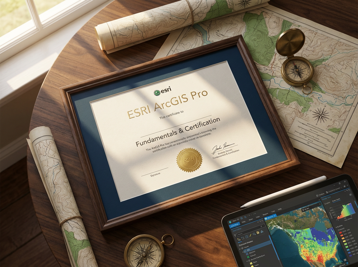
ESRI ArcGIS Pro Fundamentals & Certification
$5500.00
ESRI ArcGIS Pro Fundamentals & Certification 5-Day Course Outline - KSA, Oman & GCC
Master GIS Technology with ArcGIS Pro Training in Saudi Arabia, Oman & Gulf Region
The ESRI ArcGIS Pro Fundamentals & Certification Course is a comprehensive 5-day program for GIS professionals, analysts, and planners across Saudi Arabia (KSA), Oman, UAE, Qatar, Kuwait, and Bahrain. This hands-on training covers spatial analysis, mapping, data management, and geoprocessing essential for urban planning, infrastructure development, environmental management, oil & gas operations, and smart city initiatives throughout the GCC region.
Why ArcGIS Pro Training is Critical in the Middle East?
GIS technology drives GCC’s ambitious development visions:
Vision 2030 and Oman Vision 2040: smart cities, infrastructure planning
NEOM, Red Sea, Qiddiya: mega-project spatial planning and management
Urban development: Riyadh, Jeddah, Dubai, Doha expansion projects
Oil & gas sector: exploration, pipeline routing, facility management
Environmental monitoring: desertification, water resources, coastal protection
Transportation planning: metro systems, highways, logistics networks
Real estate and property management
Saudi Aramco, ADNOC, PDO: spatial data analysis requirements
Government digitization: land registration, municipal planning
Utilities management: electricity, water, telecommunications networks
Who Should Attend?
GIS analysts and specialists in government and private sectors
Urban planners working on city development projects
Environmental consultants conducting spatial assessments
Engineers in civil, petroleum, surveying disciplines
Project managers requiring GIS for infrastructure projects
Asset managers in utilities and facilities management
Government officials in municipalities and planning departments
Students and graduates seeking GIS career opportunities
Anyone requiring professional ArcGIS Pro skills in GCC
5-Day Course Structure
Day 1: ArcGIS Pro Interface & Getting Started
Introduction to GIS and ArcGIS Pro
What is Geographic Information System (GIS)?
GIS applications in Saudi Arabia, Oman, and GCC
Evolution from ArcMap to ArcGIS Pro
ArcGIS Pro advantages: 64-bit, ribbon interface, 3D capabilities
ESRI ecosystem: ArcGIS Online, Portal, Enterprise
Licensing options and deployment models
System requirements and installation
ArcGIS Pro Interface Navigation
Ribbon interface: tabs, groups, commands
Project files (.aprx) vs. map documents
Views: map views, layout views, catalog pane
Catalog pane: browsing and managing data
Contents pane: layer management and organization
Geoprocessing pane: tools and workflows
Customizing interface and toolbars
Keyboard shortcuts for efficiency
Working with Projects
Creating new projects and templates
Project structure: folders, geodatabases, maps, layouts
Project settings and properties
Saving and backing up projects
Sharing projects with team members
Version control and collaboration
Best practices for project organization
Understanding Coordinate Systems
Geographic coordinate systems: latitude/longitude, WGS84
Projected coordinate systems: UTM, transverse Mercator
GCC coordinate systems: Saudi Arabia zones, Oman zones
Datum transformations and accuracy
Setting map coordinate system vs. data coordinate system
On-the-fly projection
Reprojecting data for analysis
Adding and Managing Data
Data sources: shapefiles, geodatabases, CAD, raster
Connecting to folders and databases
Adding layers to maps
Layer properties and symbology
Attribute tables: viewing and querying
Layer visibility and scale ranges
Grouping and organizing layers
Removing and replacing data sources
Day 2: Data Visualization & Cartography
Symbology and Classification
Single symbol rendering: basic display
Unique values: categorical data visualization
Graduated colors: quantitative data (choropleth maps)
Graduated symbols: proportional symbols
Classification methods: natural breaks, equal interval, quantile
Color schemes: sequential, diverging, qualitative
Transparency and blending for overlays
Advanced symbology: dot density, heat maps
Labeling Features
Dynamic labeling: automatic placement
Label classes and expressions
Arcade scripting for custom labels
Label positioning and conflict resolution
Halos, shadows, and callouts
Converting labels to annotation
Arabic and English bilingual labeling for GCC maps
Creating Professional Maps
Map layout fundamentals
Adding map frames to layouts
Scale bars, north arrows, legends
Title blocks and metadata
Grids and graticules
Inset maps and locator maps
Page setup and print settings
Exporting maps: PDF, JPEG, PNG formats
Map series for multiple pages
Working with Basemaps
ESRI basemaps: imagery, streets, topographic
World Imagery for Saudi Arabia and Oman
OpenStreetMap integration
Custom basemap layers
Basemap transparency and blending
Creating custom basemaps from local data
Offline basemap packages
3D Visualization Basics
Creating 3D scenes
Global vs. local scenes
Elevation surfaces and DEMs
Extruding 2D features to 3D
3D symbology and textures
Navigation in 3D views
Applications: terrain analysis, urban planning
Day 3: Spatial Analysis & Geoprocessing
Selection and Queries
Select by Attributes: SQL queries
Select by Location: spatial relationships
Selecting features interactively
Selection methods: new, add, remove, subset
Exporting selected features
Definition queries for layer filtering
Spatial queries for proximity analysis
Geoprocessing Tools Overview
Analysis Tools toolbox overview
Proximity tools: buffer, near, point distance
Overlay tools: intersect, union, clip, erase
Extract tools: clip, select, split
Dissolve and aggregate features
Batch processing multiple datasets
ModelBuilder for workflow automation
Geoprocessing history and reuse
Buffer and Proximity Analysis
Creating buffers: fixed distance, variable distance
Multiple ring buffers
Buffering applications: impact zones, service areas
Dissolve options for overlapping buffers
Near analysis: finding closest features
Point distance calculations
Practical exercise: facility service area mapping
Overlay Analysis
Intersect: finding common areas
Union: combining all features
Clip: extracting by boundary
Erase: removing overlapping areas
Identity and update operations
Symmetrical difference
Applications: land use analysis, site selection
Spatial Join and Relationships
Joining attributes based on location
One-to-one vs. one-to-many joins
Spatial relationship types: intersect, within, contains
Summarizing joined data
Relate tables without joining
Applications: demographic analysis, crime mapping
Day 4: Data Management & Advanced Analysis
Geodatabase Management
File geodatabases: structure and advantages
Feature classes vs. shapefiles
Creating and organizing feature datasets
Domains and subtypes for data validation
Relationship classes: one-to-one, one-to-many
Topology rules for data quality
Importing and exporting data
Geodatabase maintenance and compacting
Editing and Data Creation
Creating features: points, lines, polygons
Edit toolbar and modify features pane
Snapping and alignment tools
Splitting and merging features
Attribute editing in tables
Calculate geometry: area, length, coordinates
Field calculator and expressions
Undo/redo and edit sessions
Topology validation during editing
Raster Data Analysis
Understanding raster data: grids, pixels, resolution
Adding raster layers: imagery, DEMs, classified data
Raster display and symbology
Raster calculator and map algebra
Terrain analysis: slope, aspect, hillshade, viewshed
Extracting values to points
Reclassifying raster values
Applications: elevation modeling, land cover analysis
Network Analysis Basics
Creating network datasets
Route finding and directions
Service area analysis
Closest facility analysis
Applications: transportation planning, emergency response
Vehicle routing problems
Network Analyst extension overview
Geocoding and Address Locating
What is geocoding? Address to coordinates
Creating address locators
Geocoding addresses from tables
Rematch and review unmatched addresses
Reverse geocoding: coordinates to addresses
Geocoding services: ArcGIS Online, local
Applications: customer mapping, site location
Day 5: Automation, Sharing & Certification Preparation
ModelBuilder for Workflow Automation
Introduction to ModelBuilder
Creating and running models
Adding tools and connecting elements
Variables and parameters
Iterators for batch processing
Model documentation
Exporting models as Python scripts
Practical exercise: automated spatial analysis workflow
Python Scripting Basics
ArcPy library overview
Running Python in ArcGIS Pro
Basic Python syntax and commands
Automating geoprocessing tasks
Working with cursors for data access
List and describe functions
Error handling in scripts
When to use Python vs. ModelBuilder
Sharing Maps and Data
Exporting maps: layouts to PDF, images
Creating map packages (.mpkx)
Layer packages for sharing symbology
Sharing to ArcGIS Online
Publishing web maps and services
Collaboration through Portal
Mobile data collection with Field Maps
ArcGIS Online Integration
Connecting to ArcGIS Online
Adding online basemaps and layers
Searching for GCC-specific data layers
Publishing hosted feature layers
Web map creation and sharing
Collector and Survey123 for field data
Dashboards and web applications
Living Atlas of the World resources
Best Practices and Tips
Data organization strategies
Naming conventions for layers and files
Documentation and metadata creation
Performance optimization for large datasets
Backup and archiving workflows
Quality control procedures
Staying current with software updates
Online resources and ESRI training
GCC-Specific Applications
Saudi Arabia case studies: urban planning, transportation
Oman applications: oil & gas, environmental monitoring
UAE smart city GIS implementations
Infrastructure projects: roads, utilities, facilities
Real estate and property management
Archaeological and heritage site mapping
Water resource management in arid regions
Disaster preparedness and response
ESRI Certification Preparation
ArcGIS Pro certification overview
Exam format and question types
Key topics covered in certification
Study resources and practice exams
Time management strategies
Registration and scheduling
Certification benefits and recognition
Continuing education and recertification
Hands-On Final Project
Comprehensive GIS project:
Define spatial problem relevant to GCC
Gather and prepare data
Perform spatial analysis
Create professional maps and layouts
Document methodology
Present findings to class
Instructor feedback and evaluation
Portfolio development
Course Review and Q&A
Comprehensive review of all modules
Troubleshooting common challenges
Advanced tips and tricks
Career pathways in GIS in GCC
Certificate of completion presentation
Post-training resources and support
Networking opportunities
Certification and Career Benefits
Professional Recognition
ESRI ArcGIS Pro certification globally recognized
Enhanced employability in GIS roles across GCC
25-40% salary increase for certified GIS professionals
Compliance with government and corporate GIS requirements
Foundation for advanced ESRI certifications
Professional credibility with employers and clients
Career Opportunities in GCC
GIS analyst positions in government ministries
Urban planner roles in municipalities
Environmental consultant opportunities
Oil & gas spatial analyst positions
Smart city project roles
Infrastructure project GIS specialists
Real estate and facility management
Remote sensing and surveying careers
Training Delivery Options
Classroom with computers: Riyadh, Jeddah, Dammam, Muscat, Dubai, Abu Dhabi, Doha
Virtual instructor-led: Live online with hands-on exercises
In-company programs: Customized for organizations (minimum 6 participants)
Blended learning: Online theory with in-person labs
Industry-specific: Oil & gas, urban planning, environmental focus
Software provided: Training licenses for course duration
Transform Your Career with GIS Expertise
ArcGIS Pro skills are essential for professionals supporting Saudi Arabia’s Vision 2030, Oman’s infrastructure development, and GCC smart city initiatives. Master the world’s leading GIS platform and contribute to the region’s digital transformation and sustainable development.
Master ArcGIS Pro and become a certified GIS professional driving spatial intelligence in the Middle East.